ckanext-gztr

ckanext-gztr
Interactive gazetteer maps for your datasets.

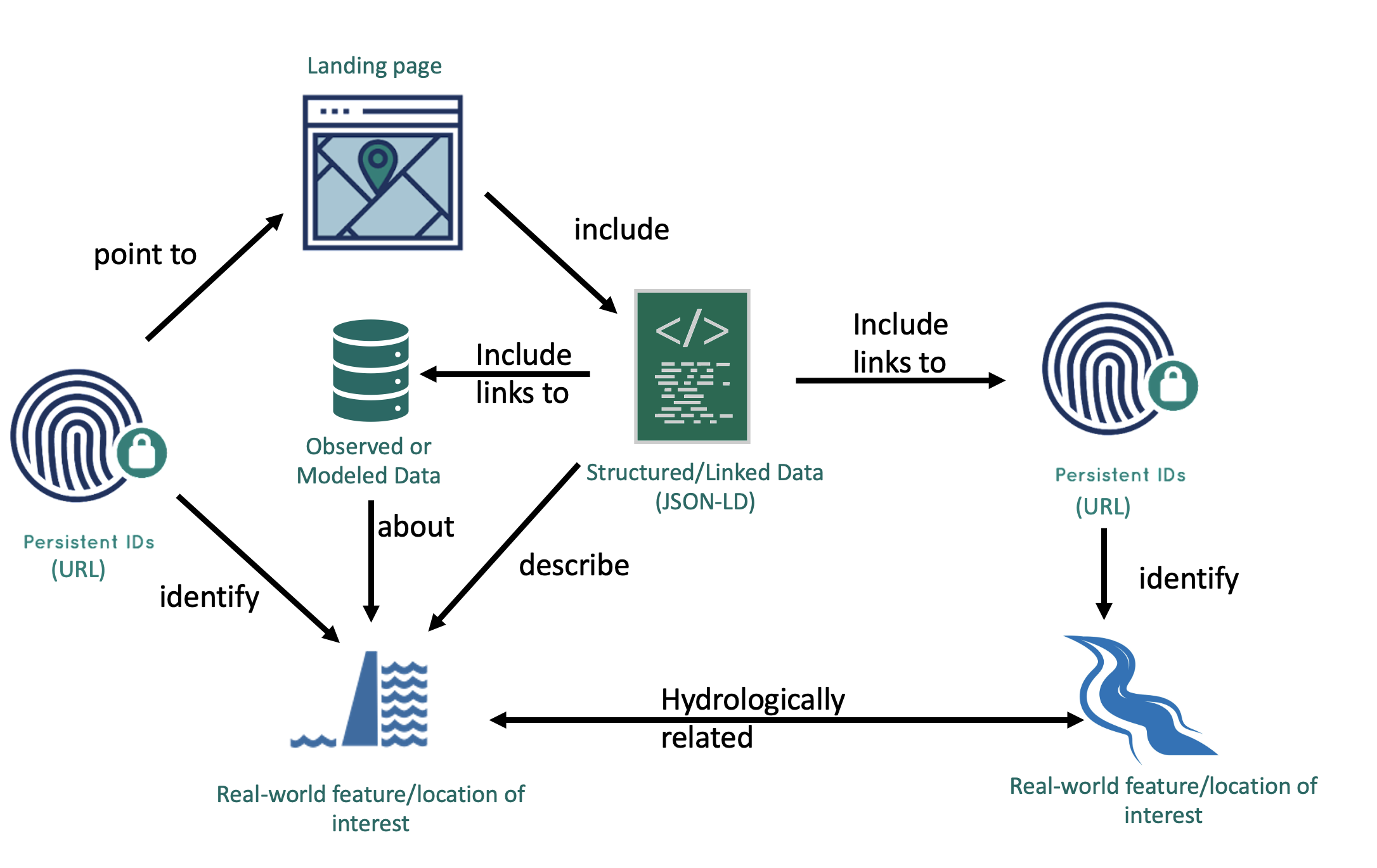
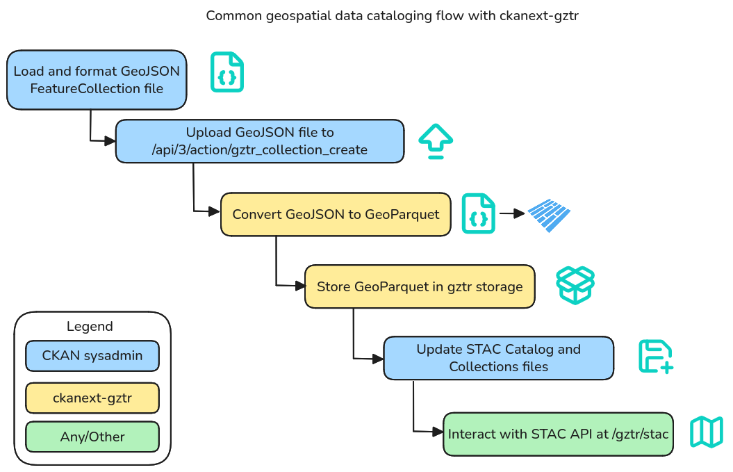
ckanext-gztr is a CKAN extension that lets you associate geospatial features on an interactive map for datasets, perform spatial search, expose a STAC API, and more.
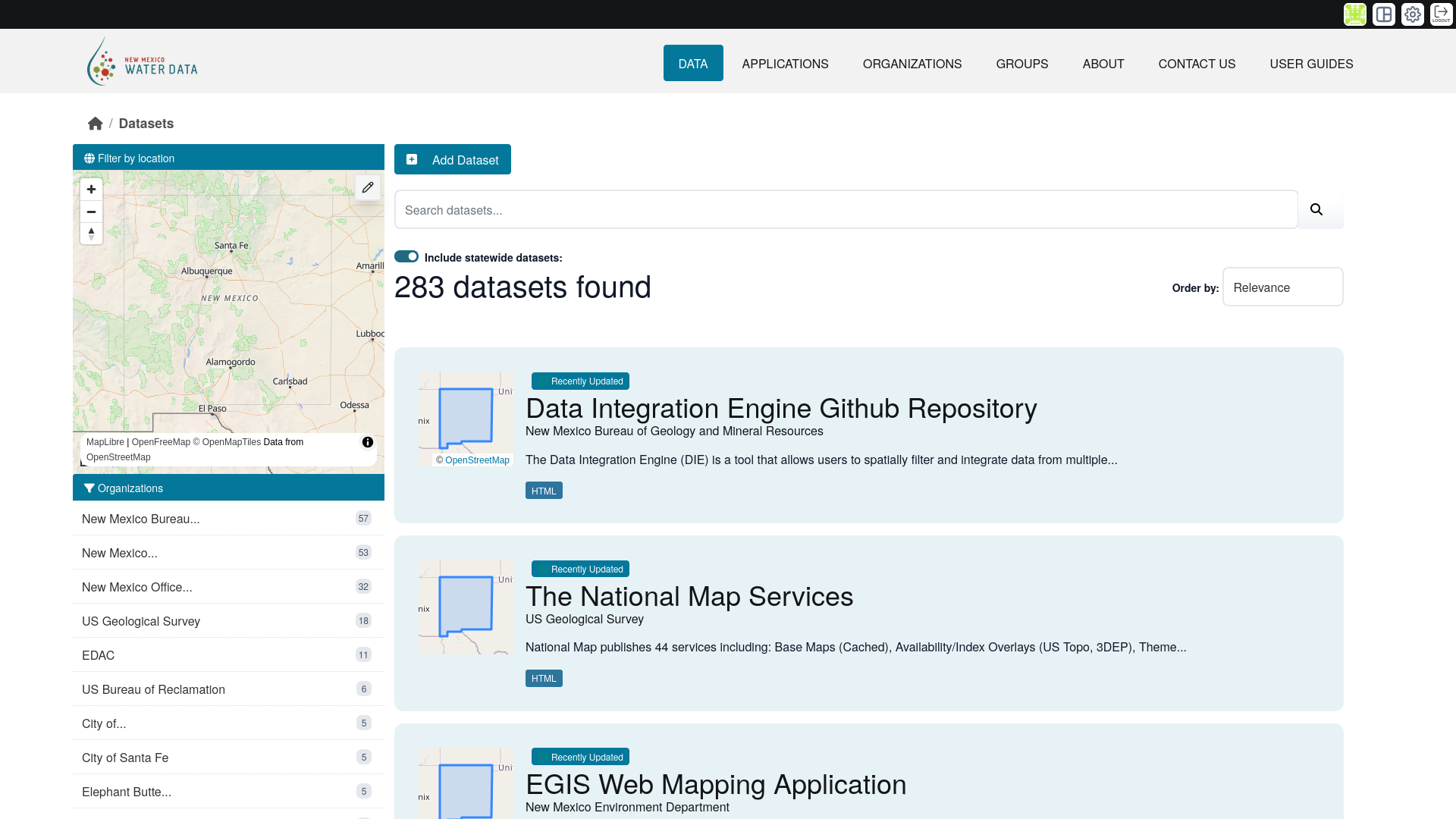
preview
preview
preview

Built as a collaborative effort.

datHere
Center for Geospatial Solutions
U.S. Geological Survey
New Mexico Water Data Initiative
New Mexico Bureau of Geology and Mineral Resources
Texas Geographic Information Office
Internet of Water
Lincoln Institute of Land Policy